India · September 2024
Kangra / Dharamshala
The last day of the loop. A fort on a spur between two rivers, brought down by an earthquake rather than an army, and a valley that turned to tea instead.

The last day of the loop, north-east out of Amritsar and into Himachal. Two things here: a fort that has been fought over for a thousand years, and the tea that replaced the fighting as the valley's main business.

Fig. 1 First light from the roof, before setting out.
Kangra Fort

The fort sits on a spur where two rivers meet, which is the whole reason it is there: one approach, steep on every other side. The Katoch family have claimed it for a very long time, and its treasury was rich enough to draw Mahmud of Ghazni, the Mughals and the Sikhs in turn.
What finally took it down was not a siege. The 1905 Kangra earthquake brought down much of the upper fort, and what you climb through now is the ruin that left.

The fort from across the valley.

On the ramparts, near the top.

Fig. 4 The valley the fort was built to watch.

A lock and a bell at one of the shrines inside.
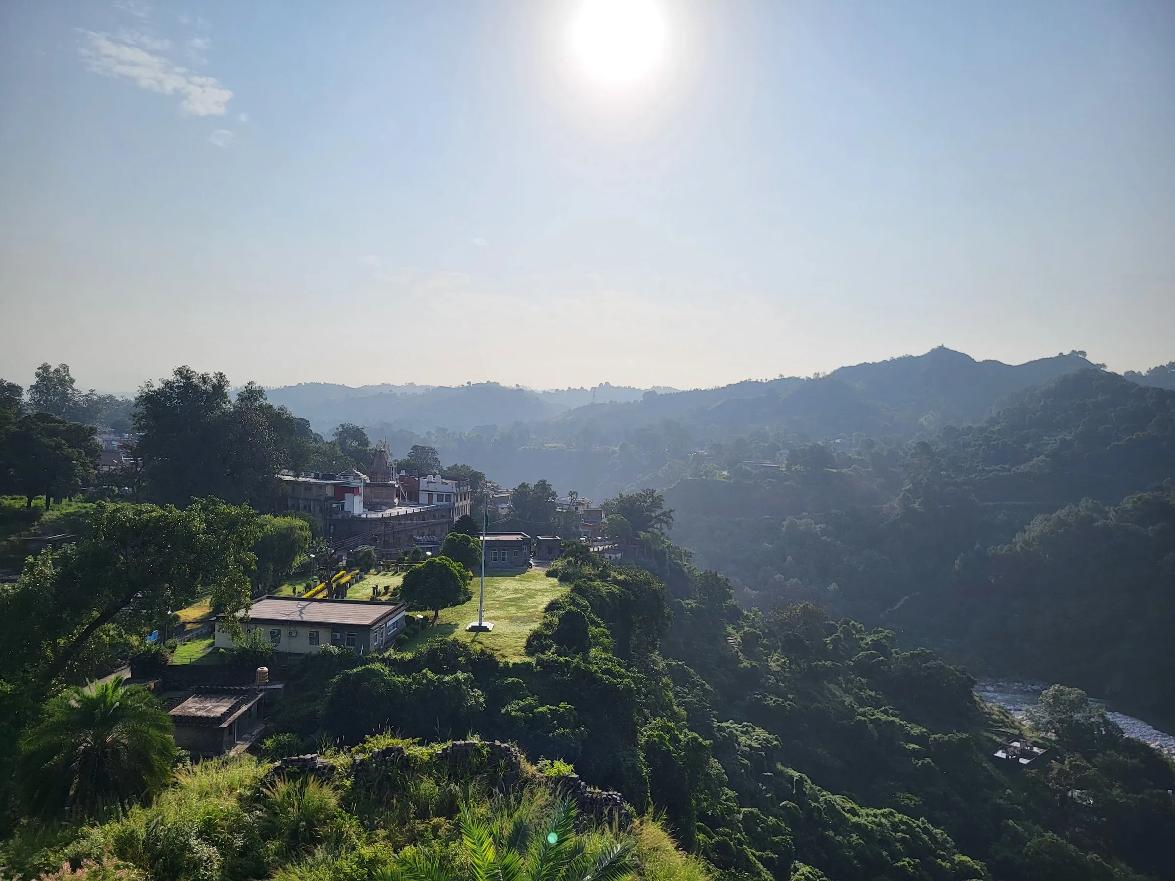
Looking back down, with the sun coming over.
One approach, steep on every other side. It took an earthquake to do what the armies could not.
The tea gardens

Tea has grown in this valley since the 1850s, when the British found the slope and the rainfall suited it. Kangra tea never got the fame of Darjeeling or Assam and the industry nearly went under after the same 1905 earthquake, but it holds a GI tag now and the gardens run right up to the edge of the road.
The rows are cut flat at waist height, so from a distance the whole hillside reads as one green surface with paths cut into it.
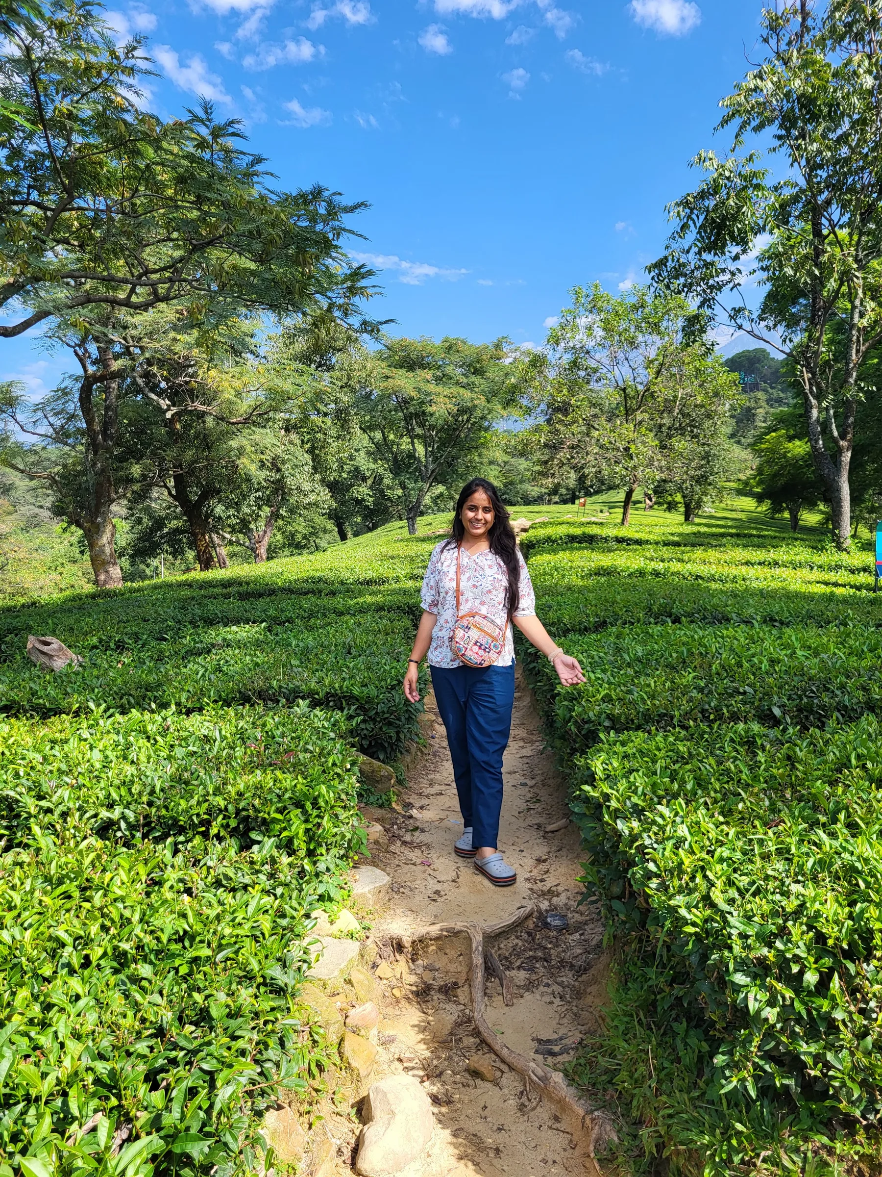

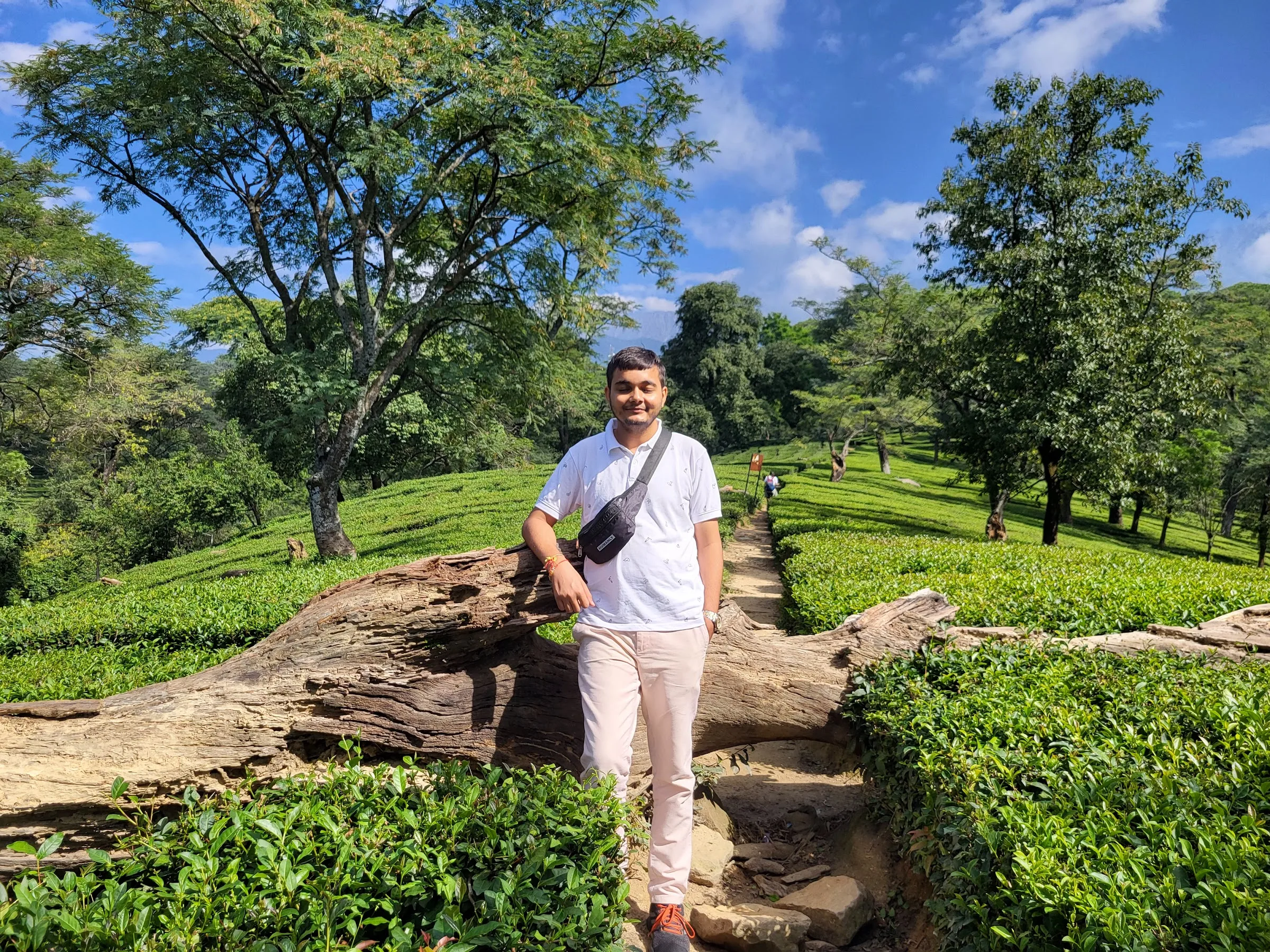
Figs. 7—9 Paths cut through the rows; the sheds where the leaf is collected; and the flat green the bushes make when they are kept trimmed.

Fig. 10 On the rocks at the edge of one of the gardens.

Fig. 11 The fort again on the way out, from the other side of the valley.